Figures & data
Figure 1. Detailed view of routes map showing an off-road vehicular route behind the compound and Gaol, the Bounty Street Bridge closure, and walking routes through the golf course.
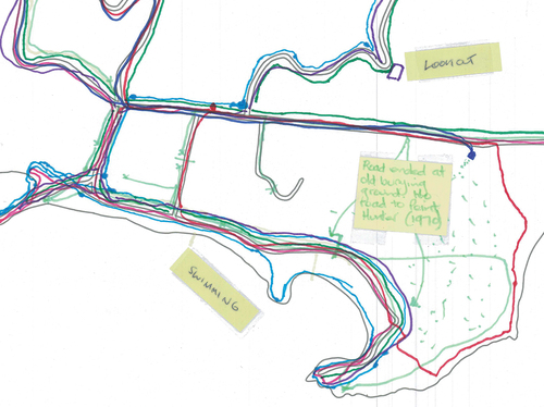
Figure 2. Detailed view of routes map depicting horse riding across the common, walking routes through the Golf Course, and a sticky note referring to a chain that is used to block vehicular entrance to the compound.
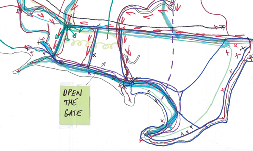
Figure 3. Detailed view of customary practices map showing symbols and sticky notes related to the presence of horses in Kingston.
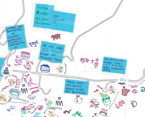
Figure 4. Detailed view of customary practices map showing a ‘parking up’ symbol at the top of the pier area.
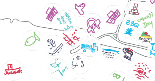
Figure 5. Heidi’s individual map highlighting the importance of horse riding in Kingston and the practice of ‘parking up’.
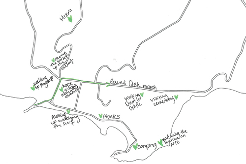
Figure 6. Detailed view of emotions map highlighting feelings of worry (yellow) attached to the Pier Store and New Military Barracks.
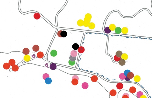
Figure 7. Detailed view of emotions map highlighting areas in Kingston attached to feelings of anger (red), nostalgia (pink) and a sense of belonging (pines).
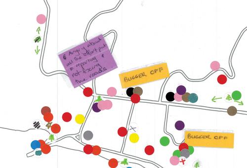
Figure 8. Detailed view of emotions map with sticky notes that capture the extent to which participants are concerned about changes to Kingston.
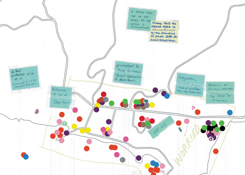
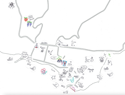
Figure 9. Detailed view of customary practices map highlighting volume, geographic spread and variation in activities occurring across Kingston.