Figures & data
Figure 1. Kya Sands settlement’s boundary, surrounding areas and the North Riding stream.
Image adapted from Google Satellite Map of December 2015.
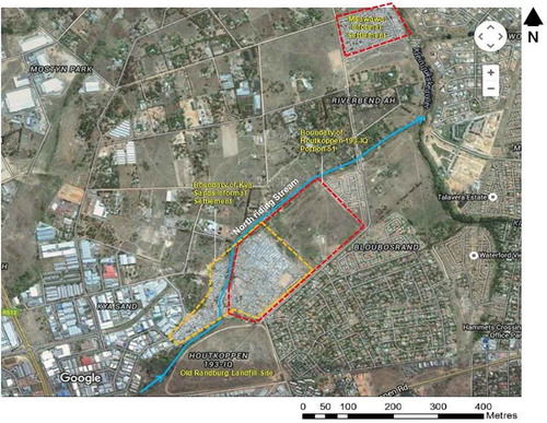
Figure 2. Meeting and presentation at a community centre (left) and Church (right) in Kya Sands settlement.
Source: Author’s Photographs, September 2014/2015.
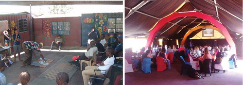
Figure 3. Some of the domestic gardens in Kya Sands Settlement.
Source: Author’s Photographs, May/June 2014.
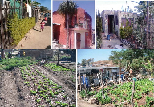
Figure 4. Location of communal gardens, parks and soccer pitch in Kya Sands settlement.
Source: Google Satellite Image, November 2015.
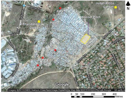
Figure 5. Informal parks in Kya Sand settlement.
Source: Author’s Photographs, May/June2014.
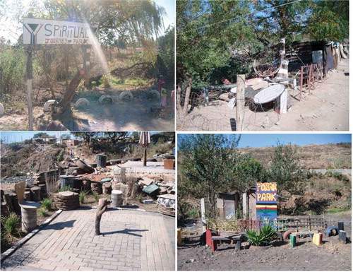
Figure 6. Signage at the Limpopo Mini-park in Kya Sands settlement.
Source: Author’s Photograph, June 2014.
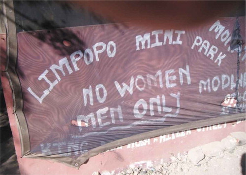
Figure 7. Soccer game underway on the pitch in Kya Sands settlement.
Source: Author’s Photograph, Sunday 25 May 2014.
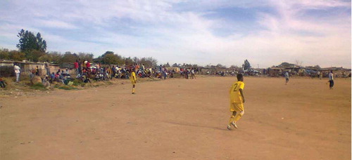
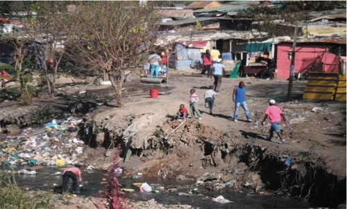
Figure 8. Residents washing paint containers in the stream next to a dumping area.
Source: Author’s Photograph, November 2014.
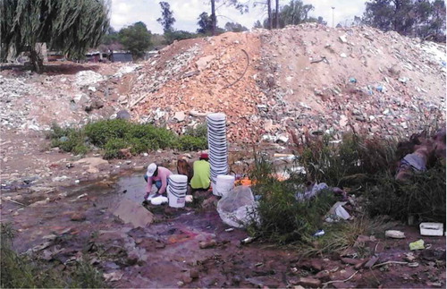
Figure 9. Dumping waste in the riparian corridor and wetland in Kya Sands settlement.
Source: Author’s Photographs, May 2014.
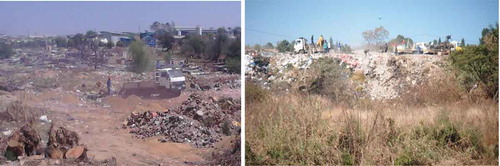
Figure 10. Children playing in the Stream while a resident collects water.
Source: Author’s Photograph, May 2014.