Figures & data
Figure 1. Hutongs and 20 police districts (1912) of Republican Beijing.
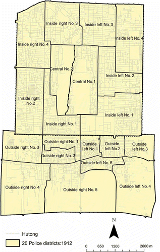
Figure 2. Temples in wuwanghou hutong
![]()
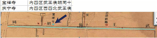
Figure 3. Three records of temple in the shitou hutong
![]()
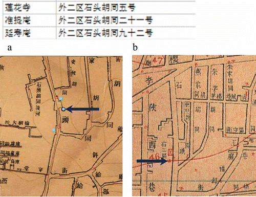
Figure 4. The temple record for caishenmiao
![]()
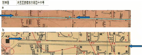
Figure 5. Two temple records for zhong'sitiao
![]()
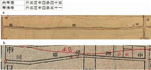
Figure 6. Three temple records for xiaoshi dajie
![]()
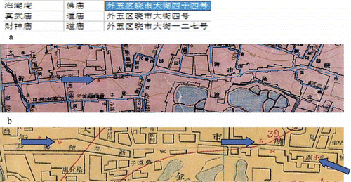
Figure 7. Temple records for the Picai hutong
![]()
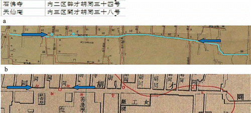
Figure 8. Boundaries of the 11 police districts and the 80 synthetic districts (a) and nonresidential polygons in the city (b).
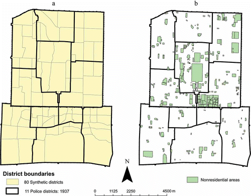
Figure 9. Population counts of 11 police districts (a) and 80 synthetic districts (b), 1937, using quantile classification method.
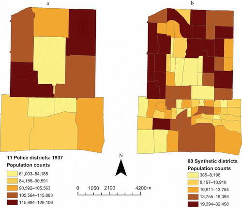
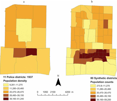
Figure 10. Population density levels of the 11 police districts (a) and the 80 synthetic districts (b).