
Figures & data
Table 1. New thinking about GIS in the era of big data.
Figure 1. The classification diagram of big spatial data.
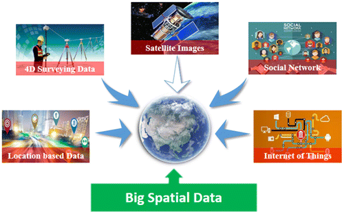
Figure 2. Big spatial vector data management.
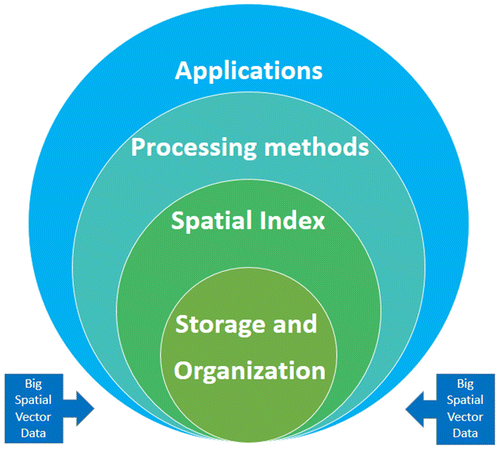
Table 2. Existing frameworks or systems for big spatial vector data.
Figure 3. Big spatial vector data model.
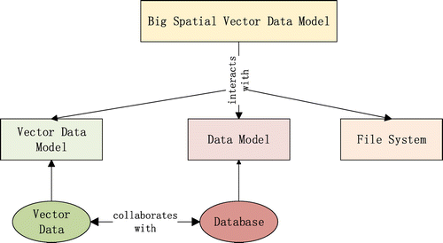
Figure 4. The structure of big spatial vector data, GeoCSV.
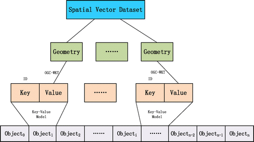
Figure 5. Distributed spatial index for big spatial vector data.
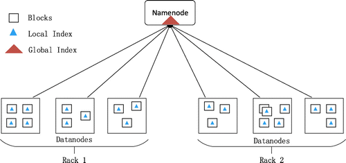
Figure 6. Data processing and analysis of BSVD.
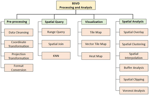
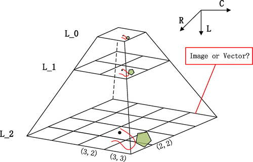
Figure 7. Tile pyramid model for map visualization.
Data availability statement
Data sharing is not applicable to this article as no new data were created or analysed in this study.