Figures & data
Figure 1. Land use/land cover classification. (a) Global land cover map to thematic impervious area map and urban land use map; and (b) classification unit from pixel to object and parcel
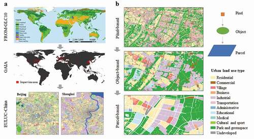
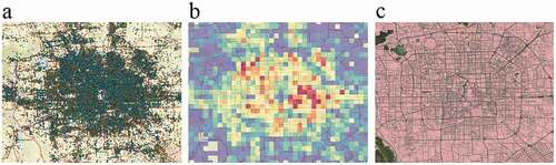
Figure 2. Examples of social sensing big data in Beijing, China. (a) Point of Interests (POIs) for Weibo check-in records; (b) Tencent mobile-phone location-based service (LBS) active population density; and (c) OpenStreetMap based road networks