Figures & data
Figure 1. Pyramid of integration. Source: Adapted from Stead et al. (Citation2003).
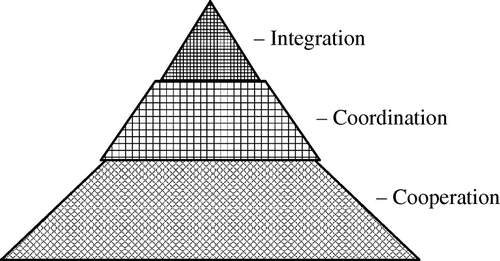
Figure 2. An integration continuum.
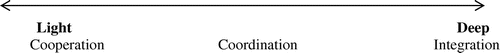
Table 1. Typology of integration and barriers and enablers to its achievement.
Table 2. National policy orientations and Merseyside plans and projects in the transport and land use sectors from the 1960s until the 2000s.
Table 3. Summary of barriers to and enablers of integration in Greater Merseyside, 1965–2008.
Figure 3. New Mersey Crossing. Source: http://www.merseygateway.co.uk/gallery/#!prettyPhoto[group1]/11/.
![Figure 3. New Mersey Crossing. Source: http://www.merseygateway.co.uk/gallery/#!prettyPhoto[group1]/11/.](/cms/asset/d3851eb0-9229-429c-ba7c-ef66a5eafec9/rupt_a_866876_f0003_oc.gif)
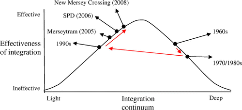
Figure 4. Time periods and case studies plotted in relation to the integration continuum. Source: Adapted from Smith (Citation2009).
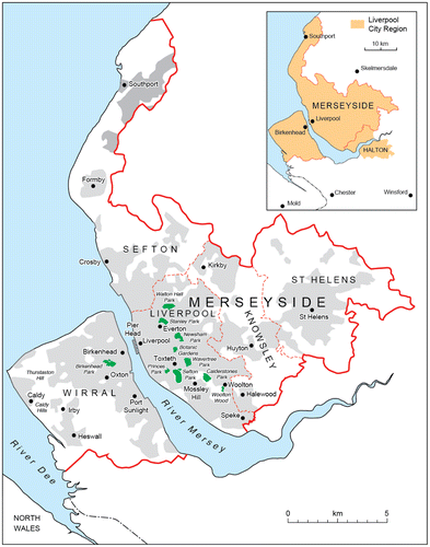
Map 1. Merseyside and the Liverpool City Region area.
Source: Sykes et al. (Citation2013) and Sandra Mather, Liverpool University Cartography Department.
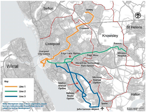
Map 2. The proposed Merseytram network (2003).
Source: Merseytravel (Citation2003).