Figures & data
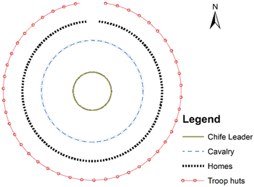
Figure 2. Plan of Emperor Minilik the II sefer during Adwa expedition, 1986.
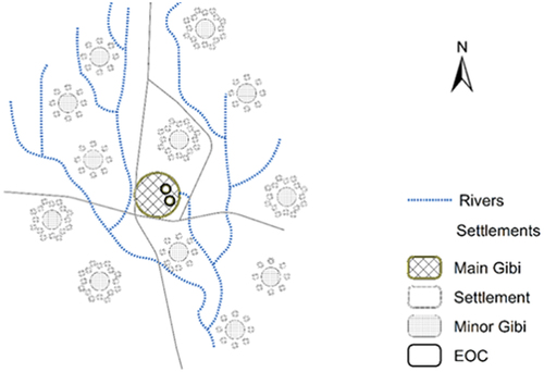
Figure 4. Traditional Space organization of Ethiopian Orthodox Church (EOC).
Figure 5. Location Map of the study sites Kezira and Megala in Dire Dawa.
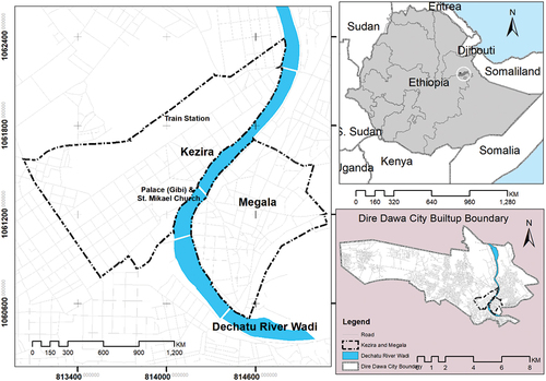
Figure 6. Picture of Dire Dawa Palace, Gibi (left), and St. Mikael Church (right).
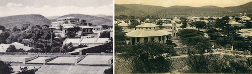
Table 1. List of characteristics of urban form traits and their results from context of Dire Dawa.
Figure 7. Land use of Kezira (left), Street pattern system of the same area (right).
Figure 8. Block arrangement of Kezira (left), and building organization of the same area (right).
Figure 9. Partial ariel view of Kezira, Commercial and Service areas (left) and Residential areas (right).
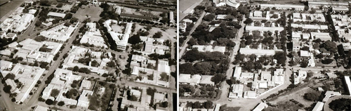
Figure 10. Land use of Megala (left), Street pattern system of the same area (right).
Figure 11. Block arrangement of Megala (left), and building organization of the same area.
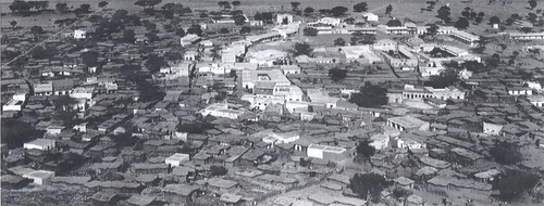
Figure 12. Partial ariel view of Megala.