
Figures & data
Figure 1. Map of the Study area
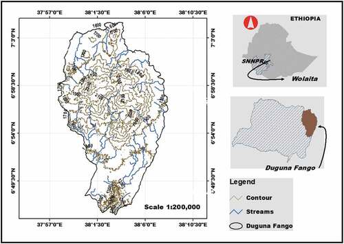
Figure 2. Land use/cover maps of Duguna Fango in 2000, 2009 and 2018
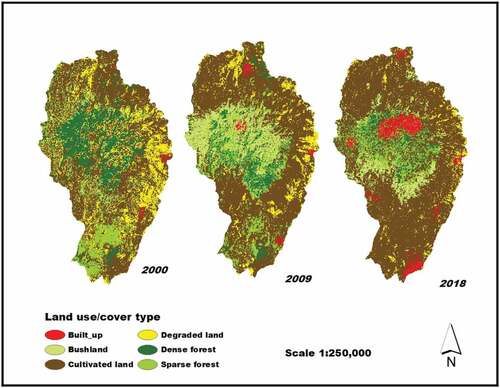
Table 1. Land use/land cover classification scheme
Table 2. Comparison of LULC types between 2000 and 2018 (Source: Computed from satellite imageries of 2000, 2009 and 2018)
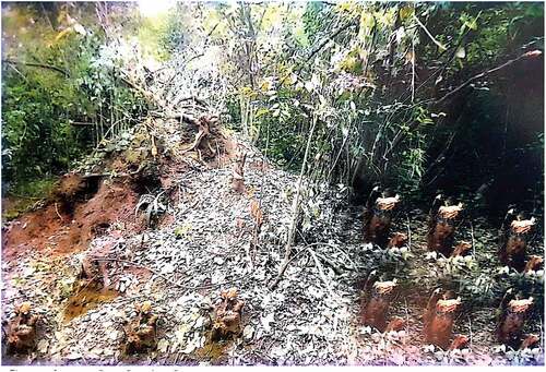
Figure 3. Forest (Dense and Sparse) cover of the study area since 2000 to 2018
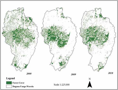
Figure 4. NDVI map of Duguna Fango Woreda for the years 2000, 2009 & 2018 from left to right
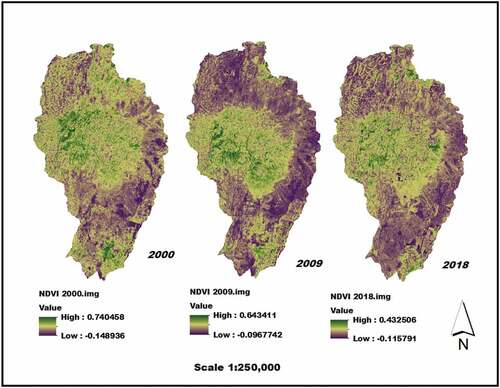
Table 3. NDVI Statistics of 2000, 2009, and 2018 Satellite images
Data availability statement
Data that support the findings of this study are available upon request through the corresponding author.