Figures & data
Figure 1. A map reconstructing the Khmer Road during the Angkor Era
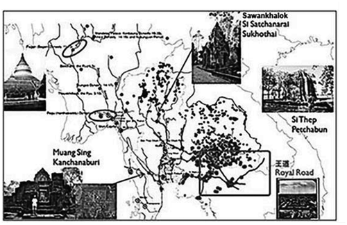
Figure 2. A map reconstructing the Phra Ruang Route or Sukhothai Road linked Sukhothai, Sawankhalok, Si Satchanalai and Kamphaeng Phet
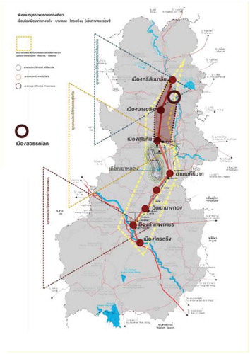
Figure 3. A diagram portraying the mechanism of the 3Cs approach
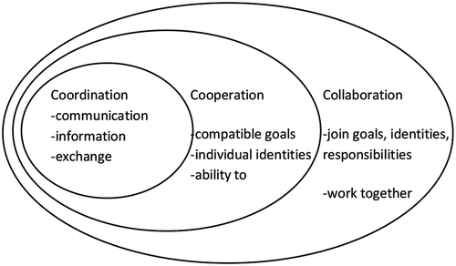
Figure 4. A diagram exhibiting the mechanism of the Participatory Theory serving as a modus operandi for the Creative Tourism Strategy Model

Figure 5. A diagram portraying the mechanism of the appropriate technology approach
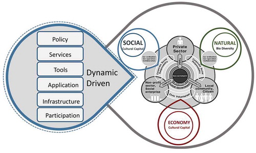
Figure 6. Rural design paradigm

Figure 7. (a) on left: A map of Ping river and Yom river. (b) on right:. A map of Rivers connections between the Yom Basin and the Ping Basin, Thailand
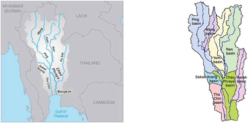
Figure 8. Local area mapping of information on creative tourism in Sawankhalok district
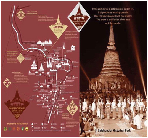
Figure 9. Local area mapping of information on creative tourism at Sawankhalok-Si Satchanalai Historical Park
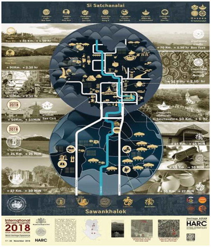
Figure 10. A location map of UNESCO World Heritage Site and historic town of Sawankhalok-Si Satchanalai
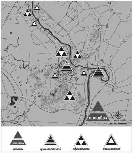
Figure 11. Images of: 1)Wat Chang Lom; 2) Wat Chedi Chet Thaew; and 3) Wat Nang Phaya, at Si Satchanalai Historical Park
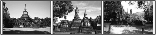
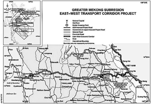
Figure 12. A map displaying the East–West Economic Corridor in five Southeast Asian countries