Figures & data
Figure 1. Map of southeast region of Nigeria. The states include Abia, Anambra, Ebonyi, Enugu and Imo.
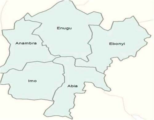
Figure 2. a) living mud hut with thatch roof and (b) a fence made with thatch to protect the compound.
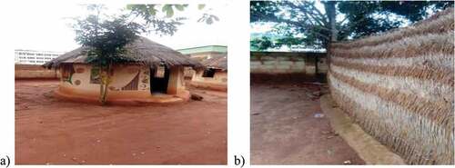
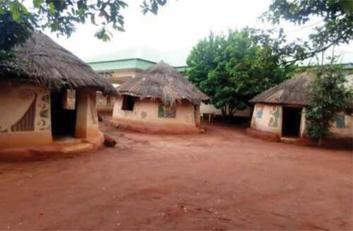
Figure 3. Mud huts in recreational centers in Nsukka, Enugu State, Nigeria.
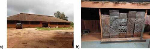
Figure 4. Major raw materials for building mud huts are red mud and bamboo.
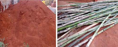
Figure 5. Aesthetic designs on mud walls and traditional door panels have symbolic meanings.
Note: (Credit: UNN museums)
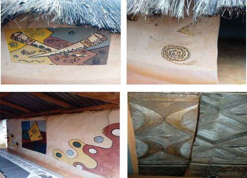
Figure 6. Designs in or outside walls hold deep philosophical meaning.
Figure 7. Closely knitted mud hut groups with open spaces where children play.
Note: Image credit: UNN museums