Figures & data
Figure 1. Location of the studied area.
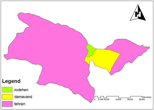
Table 1. The classes of various parameters and their coefficients.
Table 2. Combination of classes and coefficients.
Figure 2. Height classes map.
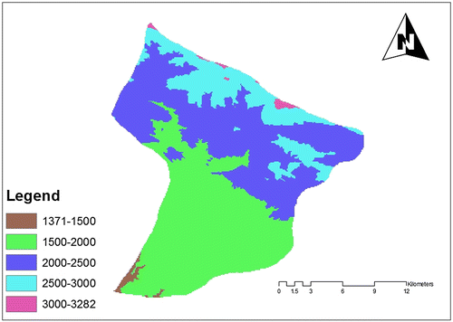
Figure 3. Land use map.
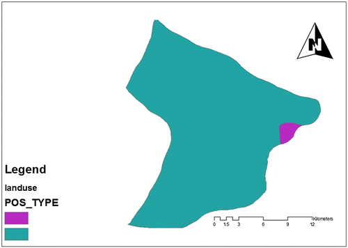
Figure 4. Climate classes.
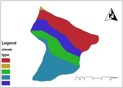
Figure 5. Sloping classes map.
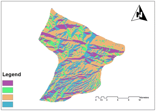
Figure 6. Soil classes.
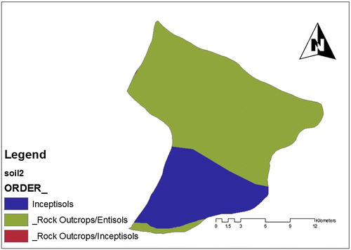
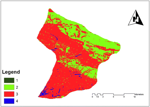
Figure 7. Slope classes map.
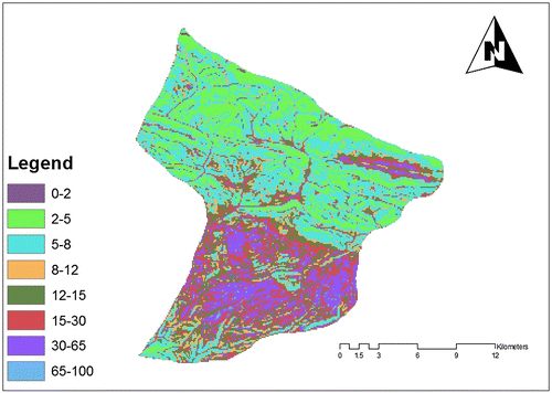
Figure 8. Map of agricultural power classes based on the method of regular average weighing.