Figures & data
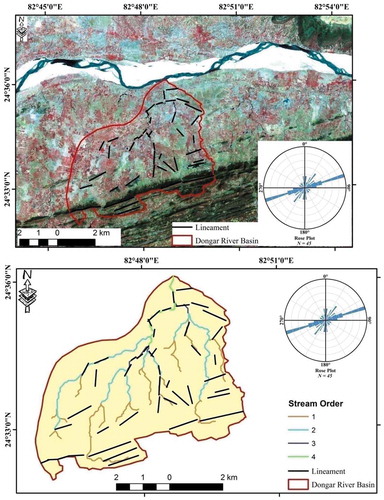
Figure 1. Satellite imaginary showing the Dongar River Basin, Son Valley, Central India.
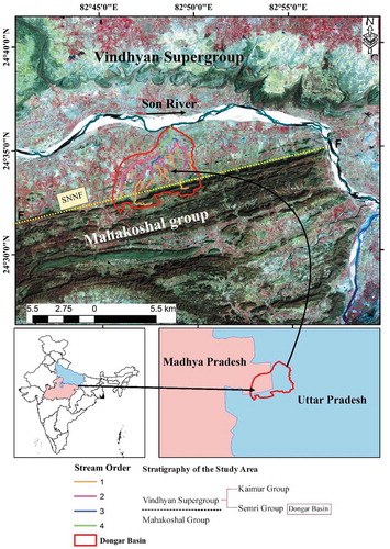
Table 1. Formulae adopted for computation of different morphometric parameters and their calculated values for Dongar River Basin, Son Valley, Central India.
Figure 2. (a) Aspect map, (b) Slope map, and (c) Relief map of the Dongar River Basin, Son Valley, Central India.
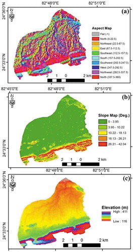
Figure 3. (a) Bivariate plots of “log Nu” vs. stream order (Horton’s first law). (b) “log Lu” vs. stream order (Horton’s second law).
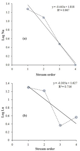
Figure 4. Longitudinal profile of the Dongar River Basin, Son Valley, Central India.
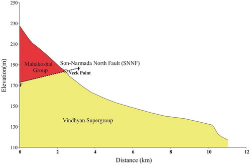
Figure 5. Lineament trends (ENE–WSW) of the Dongar River Basin, Son Valley, Central India.