
Figures & data
Figure 1. Location map of Hurungwe Safari Area-Rifa section in Hurungwe district, northern Zimbabwe.
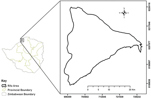
Figure 2. Bee sampling stations and triangulation point set up.
Notes: Bee stations 1 and 2, a and b beelines, c distance from bee station to the other, C1 potential site with a bee colony, A1 and B2 represent angles from points where beelines were located.
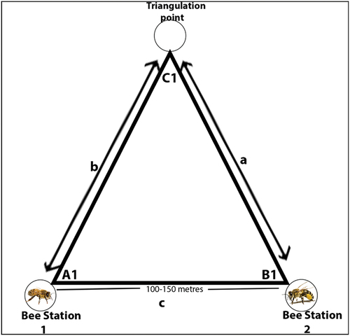
Table 1. Variables used to model the potential distribution of honeybees.
Table 2. Precision of triangulation bee lining technique in located A.m. scutellata colonies.
Figure 3. A.m. scutellata colonies sites population distribution in Hurungwe Safari Area-Rifa section.
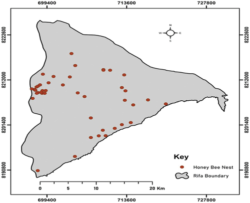
Figure 4. Potential distribution areas of honeybees in Hurungwe Safari Area-Rifa section.
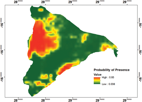
Table 3. Honeybees’ response to different environmental elements.