Figures & data
Figure 1. Map of the study area.
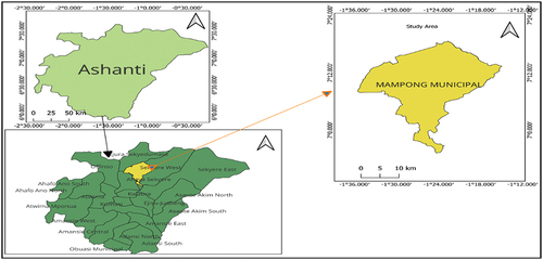
Figure 2. Classification scheme.
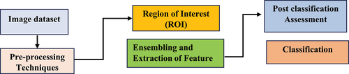
Table 1. Description of land class for classification
Figure 3. False color composition from image.
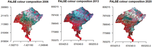
Figure 4. Plot of NDVI map.
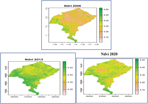
Table 2. Summary of NDVI
Figure 5. Land use classification map.
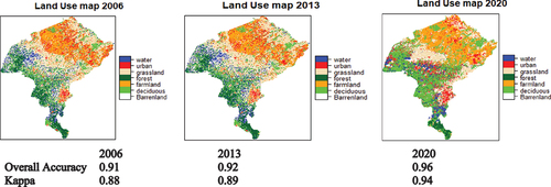
Table 3. Area of land cover
Figure 6. Histogram of change in NDVI.
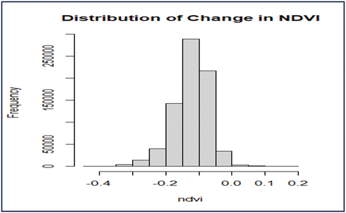
Table 4. Area changes in land use changes (km2)
Table 5. Transition matrix of land use dynamics
Table 6. Projected land use changes by 2032
Data availability statement
Data used for this work is a public data that was downloaded from GEE. Landsat 5 TM+ image period of 2006 and Landsat 8 TOA (top-of-atmosphere) satellite image for the period 2013–2020. Code for data extraction was obtained through the link https://code.earthengine.google.com/. R-codes for data collection, processing and analysis are available on request.