227
Views
0
CrossRef citations to date
0
Altmetric
Original Articles

Learning English and Irish via satellite images and aerial photographs

, &
Pages 31-35 | Published online: 15 Dec 2015

Figures & data

Figure 1: “My School” in Bochum-Wattenscheid

(Source: Google Maps, GeoBasis-DE/BKG, AeroWest, Aerodata International Surveys, DigitalGlobe, GeoContent, GeoEye)

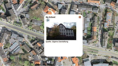
Figure 2: “There is only one tiny cloud in Ireland. Where is it?”

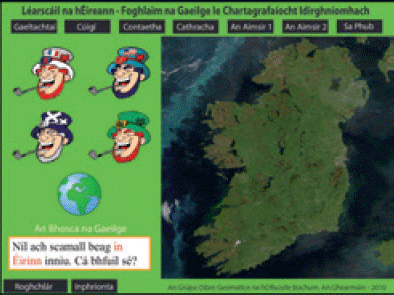
Figure 3: “It has been snowing in Scotland. There are no clouds.”

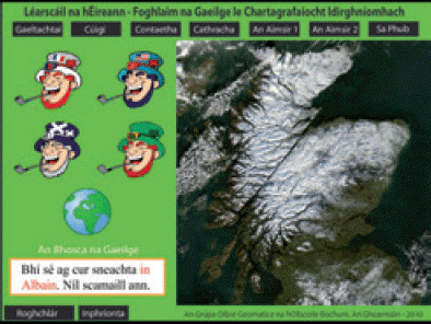
Figure 4: “It is stormy in America. A hurricane is coming!”

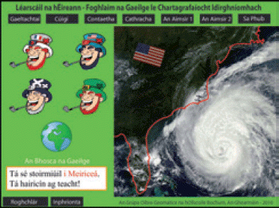
Figure 5: “It is dry in France. It is not wet in France.”

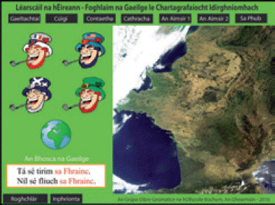
Table 1: The Structure of the Application.

Reprints and Corporate Permissions

Please note: Selecting permissions does not provide access to the full text of the article, please see our help page How do I view content?

To request a reprint or corporate permissions for this article, please click on the relevant link below:

Academic Permissions

Please note: Selecting permissions does not provide access to the full text of the article, please see our help page How do I view content?

Obtain permissions instantly via Rightslink by clicking on the button below:

If you are unable to obtain permissions via Rightslink, please complete and submit this Permissions form. For more information, please visit our Permissions help page.