Figures & data
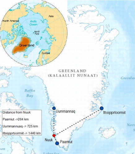
Fig. 1. Map of Inuulluataarneq Research Sites in Relationship to Nuuk.
Source: ArcMap 10.3.1., Esri, HERE, DeLorme, Intermap, increment P Corp, GEBCO, USGS, FAO, NPS, NRCAN, GeoBase, IGN, Kadaster NL, Ordnance Survey, Esri Japan, METI, Esri China (Hong Kong) swisstops, MapmyIndia, Openstreetmap contributors, and the GIS User Community.