In Volume 26, Issue 3–4 of Marine Geodesy, the following caption for the cover image was omitted:
Variations in global mean sea level from TOPEX/Poseidon (red) and Jason-1 (white). The rate of change over this decade is 2.8 ± 0.4 mm/year, though it is still not certain if this represents the long-term rate of sea level change, or a decadal variation. The gap in the T/P curve occurred when the satellite was shifted from its original 10-day groundtrack (during which it briefly flew behind Jason-1 on the same groundtrack) to an interleaving ground-track with Jason-1 (Courtesy R.S. Nerem and E.W. Leuliette, University of Colorado).
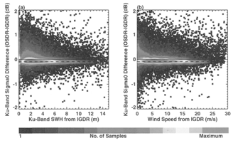
In Volume 26, Issue 3–4 of Marine Geodesy, in the article “Statistical Evaluation of the Jason-1 Operational Sensor Data Record,” by Shailen D. Desai and Patrick Vincent, was published incorrectly. The correct figure is published below.