
Abstract
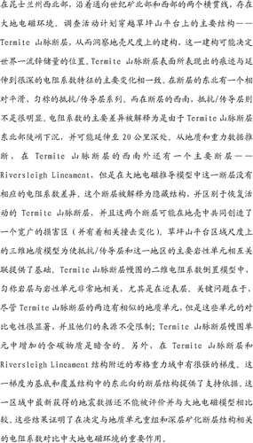
Magnetotelluric soundings were obtained along two traverse lines to the north and west of the Century mine in northwest Queensland. The survey was designed to cross the Termite Range Fault, a major structure on the Lawn Hill Platform, and to provide insights into the crustal-scale architecture that may have controlled the location of this world-class zinc deposit. The projected surface trace of the Termite Range Fault is coincident with a major change in resistivity character that extends to a significant depth. A relatively flat-lying, stacked series of resistive/conductive layers occurs on the northeastern side of the fault , while on the southwestern side the resistive/conductive layers are much less evident. The major contrast in resistivity is interpreted as due to a steep northeast-dipping Termite Range Fault that may extend to 20 km depth. To the southwest of the Termite Range Fault, a second major fault, the Riversleigh Lineament, is inferred from geology and gravity data, although there is no corresponding resistivity contrast seen across this fault in the magnetotelluric-derived model. This fault is interpreted as a buried structure, as distinct from the reactivated Termite Range Fault, and the two faults together may have created a wide damage zone (with an associated strike change) in the crust. A regional-scale 3D geological model of the Lawn Hill Platform provides a basis for correlating the resistive/conductive layers with major lithological units in the area. The stacked layers in the 2D resistivity inversion model of the Termite Range Fault hangingwall are reasonably well correlated with lithological units, particularly in the near-surface. A key point is that although similar geological units occur on either side of the Termite Range Fault, the contrasting electrical properties of these units are pronounced and their source is not well constrained; increased carbonaceous material in the Termite Range Fault hangingwall units is implied. In addition, there is a strong gradient in the Bouguer gravity field in the region of the Termite Range Fault and Riversleigh Lineament structures. This gradient provides supporting evidence for a northeast-facing fault structure in the basement and cover architecture. Newly acquired seismic data in the area has yet to be evaluated and compared with the magnetotelluric model. These results demonstrate an important role for magnetotelluric soundings in determining resistivity contrasts relating to the configuration of geological units and the architecture of deep-seated mineralising faults.
Acknowledgements
This work is part of a joint research project between the Korea Institute of Geoscience and Mineral Resources (KIGAM), Monash University and the predictive mineral discovery Cooperative Research Centre (pmd∗CRC) in Australia. The contributions of YS, TJL and SKL are partly supported by the Basic Research Project of KIGAM which is funded by the Ministry of Science and Technology of Korea. Significant financial aid has been provided by the Australia–Korea Foundation for the transport and subsistence of the KIGAM crew. We acknowledge and appreciate the in-field, logistical and financial support provided by Zinifex and their staff at Century mine. Ben Jupp (Monash University) is thanked for supplying the Geomodel images, and Indrajit Roy (Geoscience Australia) provided the gravity gradient data as part of the Mt Isa I7 pmd∗CRC project. We wish to thank the reviewers for their many helpful comments and their assistance in demonstrating results rather than exploring basic MT theory. This paper is published with permission of Zinifex Ltd and the CEO of the pmd∗CRC.