Figures & data
Figure 1. Map of Greater Belfast area to show the six case-study areas examined in the research project, with adjacent prominent neighborhoods.
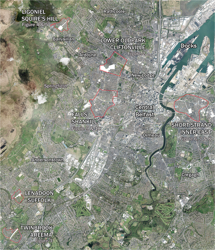
Figure 2. The industrial estate put in place at Lower Oldpark/Cliftonville to separate Catholic housing (far left) from Protestant housing (far right).
Figure 3. Dual-carriageway separating Catholic housing at Twinbrook from Protestant housing at Areema.
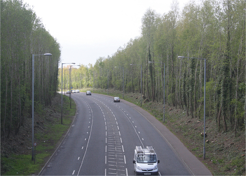
Figure 4. The established landscape barrier separating Catholic social-housing at Ligoniel from private housing at Squire’s Hill. Photograph: Donovan Wylie.
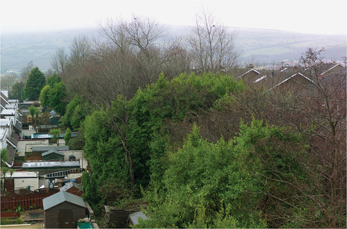
Figure 5. Back-to-front houses at Ligoniel that were tweaked to eliminate any onlook from occupants to the private housing at Squire’s Hill. Photograph: Donovan Wylie.
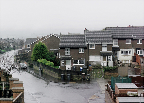
Figure 6. The dwelling in the center of the photograph was built in the early 1980s on the middle of a former east Belfast through-street. This strategic placing created a cul-de-sac space behind the dwelling and courtyard space to the foreground. Photograph: Donovan Wylie.
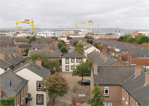
Figure 7. The rear aspect of dwellings from an early 1980s cul-de-sac development in east Belfast, crudely placed on top of a former through-street. Photograph: Donovan Wylie.
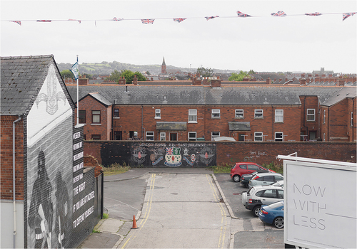
Figure 8. A defensible courtyard space from 1978 branded with Protestant flags and emblems.
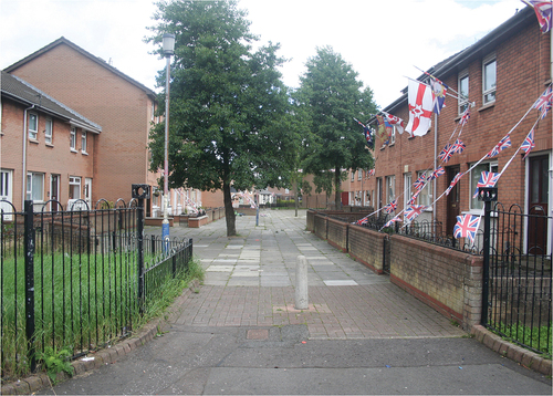
Figure 9. A supervised pedestrian passage through a 1980s west Belfast redevelopment. Here the “woonerf approach” that sought to break down large continuous streets into a series of smaller spaces has been somewhat reimagined to create a disjointed series of spaces that obscure the route through. Photograph: Donovan Wylie.
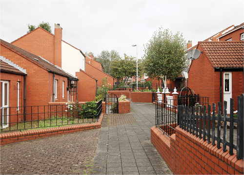
Figure 10. Problematic wayfinding in a pedestrian-only courtyard in a 1980s west Belfast redevelopment. Photograph: Donovan Wylie.
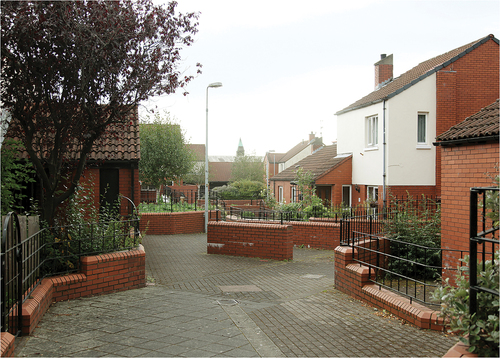
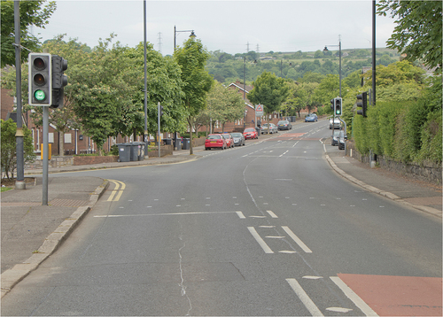
Figure 11. A traffic junction at Ligoniel which represents the local boundary between what is acknowledged as Catholic territory (above) and Protestant territory (below).