
Figures & data
Figure 1. Location of Barksdale Air Force Base in Northwest Louisiana.
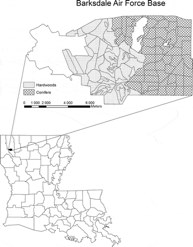
Figure 2. Tiffs DSM of tile 115.
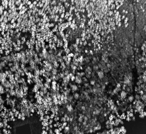
Figure 3. Tiffs DEM of tile 115.
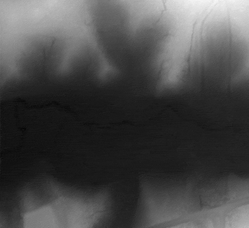
Figure 4. Tiffs OHM of tile 115.
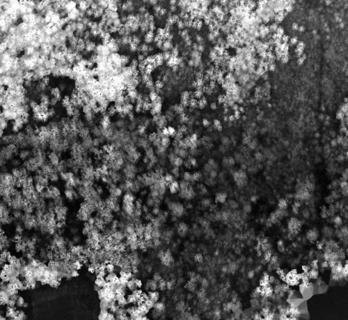
Figure 5. Lidar Analyst LAS layer of tile 115.

Figure 6. Lidar Analyst bare earth DEM of tile 115.
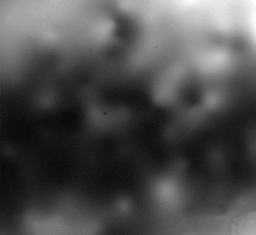
Figure 7. Lidar Analyst derived trees overlaid on top of a QuickBird image of tile 115.
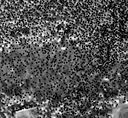
Table 1. Correlation between field measured tree count per plot and Tiffs and Lidar Analyst derived estimates.
Table 2. Correlation between field measured average tree height per plot and Tiffs and Lidar Analyst derived estimates.
Table 3. Correlation between field measured average crown width per plot and Tiffs and Lidar Analyst derived estimates.