Figures & data
Figure 1. Figure ground plan showing the boundaries of the Estate in 2015 (Nia Rodgers for Juliet Davis).
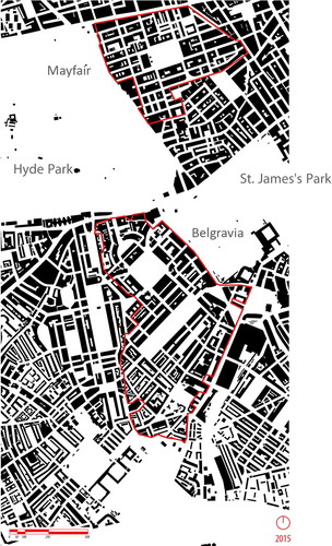
Figure 2. Aerial View of Belgravia, showing the built fabric developed by Thomas Cubitt (Jonathan Webb, webbaviation.co.uk).
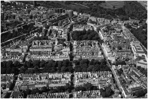
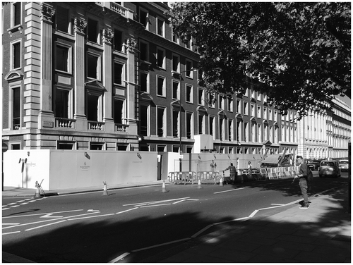
Figure 3. Photograph of contemporary Mount Street illustrating public realm improvements (Juliet Davis, 2015).
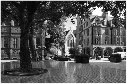
Figure 4. Photograph of the remodelled Brown Hart Gardens (Juliet Davis, 2015).
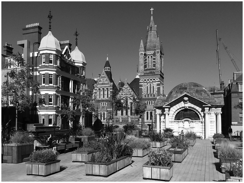
Figure 5. Figure ground plan of the Estate in 1800 (Nia Rodgers for Juliet Davis).
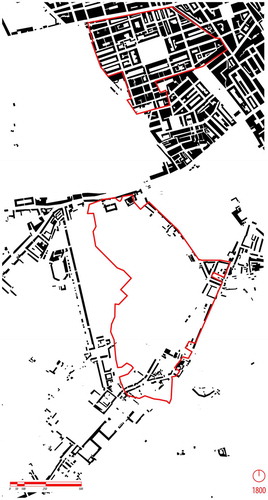
Figure 6. Figure ground plan of the Estate in 1900 (Nia Rodgers for Juliet Davis).
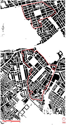
Figure 7. Elevation drawing showing the appearance of Old Mount Street (Grosvenor Estate and the Westminster City Archives).
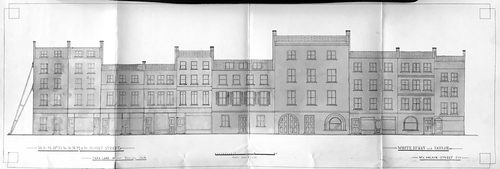
Figure 8. Mount Street – typical block plan (Grosvenor Estate and the Westminster City Archives).
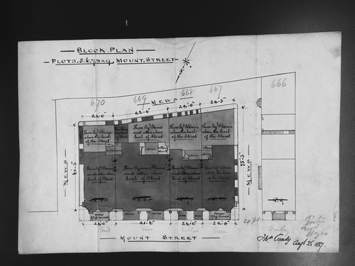
Figure 9. Grosvenor Square lease plan (Grosvenor Estate and the Westminster City Archives).
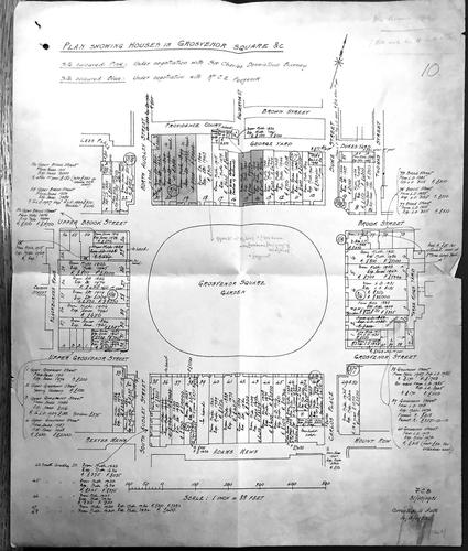
Figure 10. Photograph of Grosvenor Square showing the North Range (Juliet Davis, 2015).