
Figures & data
Figure 1. Map showing Dakoto, Yamsok and Gbane communities and upper east region of Ghana.
Source: (GIS Lab, Department of Geography, University of Ghana, Citation2022)
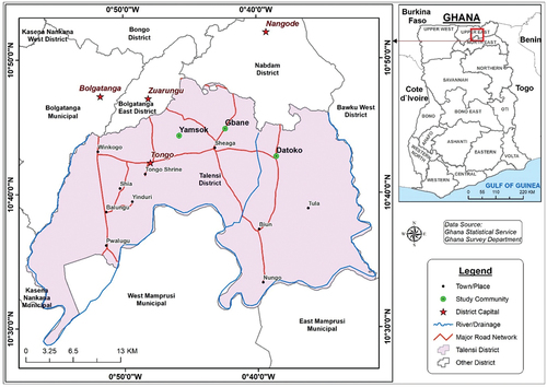
Figure 1. Map showing Dakoto, Yamsok and Gbane communities and upper east region of Ghana.